Are you thinking about hiking Mount Washington?
A challenging hike, but incredibly rewarding experience, Mount Washington in northern New Hampshire is a popular destination that hosts about 250,000 visitors every year.
This Mount Washington hiking guide will show you everything you need to know about this iconic trek. Read everything, or click one of the navigation links below to go directly to a specific section.
Navigation
Interested in reading my full backpacking gear list? Click here.
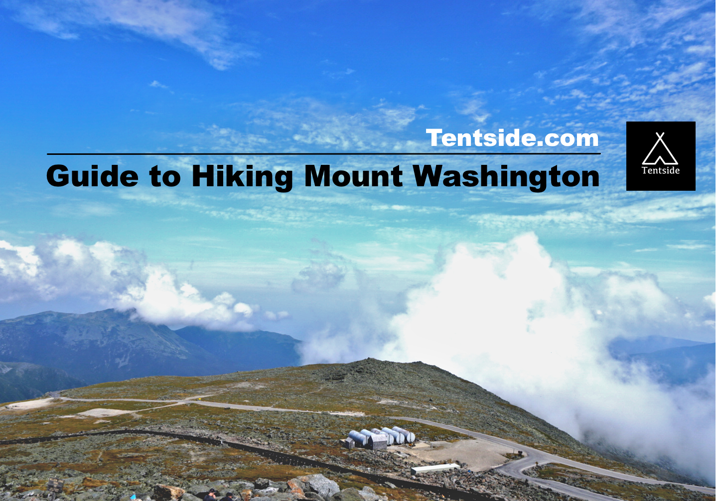
About Mount Washington
The tallest mountain in the northeast, Mount Washington rises 6,288 ft above sea level in the Presidential Range and lays claim to “Home of the world’s worst weather.”
On April 12, 1934, the world record for the fastest overland wind speed was recorded at 231 mph on the summit. Due to such harsh conditions atop Mount Washington, the tree line extends to only 4,400 ft above sea level. To the north, Mount Washington is surrounded by Presidential Range peaks Mounts Adams, Clay, Jefferson and Madison, forming a natural amphitheater.
The average temperature at the summit is 26.5°F, with the record high being only 72°F recorded in June and August, and a record low of a chilling -50°F. It can snow any time of the year at the summit, so hikers need to be prepared for winter conditions even on a summer day.
Not only is Mount Washington the tallest peak, but its prominence is recorded to be 6,148 ft, meaning the height measured from the lowest contour line surrounding only the mountain. It’s the second tallest peak on the east coast, beaten only by Clingman’s Dome in the Smoky Mountains.
At the summit is the Sherman Adams visitor center, cafeteria, restrooms, gift shop, museum, and Mount Washington Observatory. The visitor center is open from April to November; there are no public facilities open in the winter. On a clear day, you can see into Maine, Vermont, New York, Massachusetts, Canada, and the Atlantic Ocean. However, clear days are hard to come by at the summit, as there are only 10 blue sky days recorded per year on average.
General Information

A Cairn marks the way along the Tuckerman Ravine Trail
Since Darby Field claimed the first ascent of Mount Washington in 1642, the summit has become a popular destination for hikers and other outdoor recreationists. Today, you can reach the summit in the summertime by hiking, driving, shuttle, or train.
The Mount Washington Auto Road
The Mount Washington Auto Road is a popular way for tourists to reach the summit without the rigor of the 4,280 ft elevation-gain hike. The road opened August 8, 1861, making it America’s oldest man-made attraction. A trusted car and confident driver are necessary to make the drive as the 7.6-mile climb averages a 12% grade. There is a fee per vehicle/person to drive the road, but this includes a guided CD and the famous “This Car Climbed Mt. Washington” bumper sticker. Take lots of breaks on the way up and down to enjoy the views, as well as giving your car’s engine and breaks a rest.
The Cog railway
Another popular way to reach the Mount Washington summit is via the Cog railway. Built in 1869, the Cog Railway was the first mountain-climbing railway. The three-hour round-trip train ride runs from April to November. Guided tours are a great way to sit back and relax while enjoying the scenic Bretton Woods.
Bringing Pets
Pets are allowed to hike and be in designated areas at the summit around the visitor center. Pets may not be tied up outside the visitor center as a precaution for severe weather. Sheltered areas are provided for pets in case of severe weather; contact park rangers for information on where to go in event of extreme weather.
Planning for Hiking Mount Washington

Descending the Tuckerman Ravine Trail
Trekking to the summit of Mount Washington is arguably one of the more difficult day hikes on the Eastern Coast of the United States (a worthy opponent may be summiting Mount Katahdin in Maine).
If planning to do any of the below hikes in a single day, it is highly recommended to get an early start to give you plenty of time to return before dark.
It is also important to keep close track of the weather report for the day of your hike as well as the days preceding it. When on the trail, hikers should be prepared for sudden shifts in weather, no matter the forecast.
The Tuckerman Ravine Trail (Most Popular)
- Total distance: 8.2 miles
- Total elevation gain/(loss): 4280(-4,280)
- Total time to hike: 7-9 hours
See my track below. Our hiking time does not include 3 long breaks that I took.
The most popular approach for hikers is the Tuckerman Ravine Trail which starts at the Pinkham Notch campground and visitors center.
From here, you’ll ascend a distance of 4.1 miles and gain 4,280 ft of elevation as the trail leads up a series of switchbacks and steep rock steps through the bowl of Tuckerman Ravine and to the top of Mount Washington
About halfway up the trail is the Hermit Lake Shelter which provides a resting area, snacks, water well pump, and toilet for hikers.
Many hikers choose to follow the Tuckerman Ravine trail to the summit, and on the way down, loop back to the shelter via the Lion’s Head Trail. The Lion’s Head Trail has exposed steep slopes above treeline that offer astonishing views. While also steep, the descent is a bit less challenging than if following the Tuckerman Ravine trail downward. It also helps to separate the traffic coming up the mountain from the traffic coming down the mountain, as this trail can be incredibly crowded on nice weather days.
For those in good shape, the hike should take about 4.5 hours to reach the top and about 3.5 hours to descend. Of course, this is largely dependant on your personal level of fitness and health.
For those wishing to do an overnight trip, there are the Hermit Lake shelters and campsites in Tuckerman Ravine. Located 1.5 miles from the summit, there is also the option to reserve a bed at the backcountry Lakes of the Clouds Hut. The hut provides guests with a pillow and blankets, cold running water and breakfast and dinner. No electricity is available at the hut, so guests should be prepared with a headlamp and other battery-operated electronics.
View more information about this trail.
The Appalachian Trail (Crawford Path Trail)
- Total distance: 15 miles
- Total elevation gain/(loss): 5200(-5200)ft
- Total time to hike: 9-12 hours (or more)
The Appalachian Trail traverses most of the Presidential Range, including Mount Washington, via the Crawford Path Trail. This is potentially one of the most difficult hikes to reach the Mount Washington summit. Most who hike this path choose to book a stay at the Lake of the Clouds hut, which rests on the shoulder of the mountain. This allows hikers to break the trek into two days.
View more information about this trail.
The Jewel Trail
- Total distance: 10.4 miles
- Total elevation gain/(loss): 4,000(-4,000)ft
- Total time to hike: 7-9 hours
Starting from the parking lot of the Cog Railway, the Jewel Trail is considered the “easiest” trail to reach the summit. The trail gains 4,000 ft elevation over 5.2 miles, so the trail is not as steep as some of the more popular routes. However, easiest is a relative term, as a 4,000 ft climb is still a challenge for most day hikers.
View more information about this trail.
The Ammonoosuc Ravine Trail
- Total distance: 7.4 miles
- Total elevation gain/(loss): 3720(-3720)ft
- Total time to hike: 5-8 hours
Also starting from the Cog Railway parking lot is the Ammonoosuc Ravine Trail. This trail can be combined with the Jewel Trail to form a loop hike. Like the Lion’s Head Trail, it is recommended to hike up the Ammonoosuc Trail because it is steeper and more rugged and hike back down the Jewel Trail. This hike also passes by Lake of the Clouds Hut.
View more information about this trail.
Hiker Shuttles
For hikers wishing to only hike one way, there is a shuttle that runs from the summit to the Pinkham Notch visitors center, Great Gulf Trailhead, and the base of the road. The shuttle does not go to the Cog Railroad base. Other trails include Boott Spur, Huntington Ravin, Nelson Crag, and Great Gulf trails up the eastern/northeastern slope, and Ammonoosuc Ravine, Crawford Path, and Gulfside Trails up the western slopes.
Click for shuttle rates and availability.
Preparation for Hiking Mount Washington
Learn what to pack for a day hike on Mount Washington, and how to train for it.

The lower third of the Tuckerman Ravine Trail
What to Pack
Due to the intense exposure and extreme nature and difficulty and sometimes remoteness of this trail, it is important to pack more than you may normally do for a day hike. In addition to your normal items, you’ll want to pack extra emergency equipment, and extra clothing, in case you get caught in bad/cold weather or in the dark.
Here’s my recommended Mount Washington Day Hike Packing List (summertime):
Mount Washington Day Hike Checklist |
|||
|---|---|---|---|
| Item | Recommended | Weight | Notes |
| Day Pack | 2lbs 2oz | For this hike, we’re looking for something in the 20-30L range for how much stuff it can hold. We recommend the Osprey Sirrus 24 for Women. | |
| Water Bottles (x2) | Nalgene Wide-Mouth 32-L | 6.2oz ea | Carry at least 2 liters of water per person. Fill up at the shelter around the 1/2 waypoint, and again at the summit. |
| Extra Socks | Smartwool Hike Medium Crew Socks | 2.8oz | Replacing your socks helps prevent blisters! This Smartwool socks may seem expensive, but after 10 years of hiking, trust me, you’ll love them. |
| Warm Layer | 6.4oz | Even on a hot summer day, temperatures on top of Mount Washington can be downright frigid. Be prepared to keep yourself warm. Click here to read my full Mountain Hardwear Women’s Ghost Whisperer Review | |
| Rain Layer | Marmot Women’s Crystalline Jacket | 11.4oz | Wet & cold do not mix well together. You’ll almost always find a lightweight rain layer at the bottom of my pack. The Marmot Crystalline is a great jacket that will keep you dry. |
| Hiking GPS | The Gaia GPS App | 0.0oz | I can’t tell you how helpful it is to know how far you’ve gone, and how far you’ve got left to go – not to mention which way to turn. Get this app and you won’t regret it. (P.S. It’ll let you print paper maps, too!). |
| Camera | Sony A7SII Mirrorless Camera | 1lb 14oz | Of course, most people use their phones – so don’t forget that either! If you’re in the market for a fancier picture-taking machine, here’s the one I dream about. |
| Extra Charge | 4oz | I’m heavily into using my phone for navigation, pictures, and video, all of which suck up battery life. Carry an extra charge for peace of mind. | |
| Trekking Poles | Black Diamond Trail Pro Shock Trekking Pole | 1lb 1oz – (carried) | These will be especially helpful on the downhill, where your knees will take the brunt of the work. Do them a favor and get some trekking poles! |
| First aid kit | 8oz | Expect a fall on the sharp and uneven rocks during the later portions of this hike. Bandages and other first-aid gear is important. I also recommend adding Benadryl and aspirin. | |
| Headlamp | 4oz | Don’t get caught in the dark. A headlamp is another essential that should always find it’s way into your pack | |
| Pack Weight: 8lbs 2oz | |||
In addition to the above, you’ll want to pack various snacks to keep up your energy, and some cash to spend at the gift shop at the top of the mountain.
For clothing, wear an athletic shirt and pants that are thin, wicking, and non-cotton. Non-cotton socks are also highly recommended. While you may be able to get away with sneakers for this hike, sturdy hiking boots are surely a better option, as they’ll help support you on jagged rocks, and reduce your chances of slipping or falling on wet or uneven surfaces. I recommend the Vasque Breeze III hiking boots, for both men and women.
Lastly, you might also consider leaving a change of clothes in the car for the ride home 🙂
Training for the Hike
It’s important to build up a baseline of fitness before attempting a challenging hike. At the very least, a workout routine will help you enjoy your hike even more.

View while ascending the Tuckerman Ravine Trail
Bodyweight exercises
Start training by doing bodyweight squats and lunges. These exercises are hands-down the quickest way to start conditioning your legs for an uphill battle. If you’re out of shape, start with only 10 squats, and 6 lunges, but gradually increase the amount each day.
Once you build up muscle mass, increase weight by adding on a heavy day pack while completing your squats and lunges. Having strong legs will help on the grueling uphill climb, but also protects your joints from the impact on the way down.
When summit day is near, you’ll want to be able to perform 3-sets of 20 squats, and 3-sets of 10 lunges at a minimum. Include calf raises in your routine for an extra boost. These aren’t as important as squats or lunges but will help stave off fatigue on the trail.
Practice Hikes
Go for practice hikes in your area. Start out with shorter hikes and work your way to longer distances. Look for hikes in your area that include steep ascents. If you don’t have access to anything as steep as Mount Washington to train on, go for longer hikes to build endurance. For those that have a gym membership and access to an inclining treadmill or stair master, this is another great tool for building endurance and muscular strength.
Some Final Thoughts
Most important to remember when hiking Mount Washington is that due to exposure and severe weather changes, the hike can be very dangerous. If at any point you feel too fatigued or see a storm rolling in, it is best to turn back around. The hike should be enjoyable and rewarding; don’t let poor judgment put you in a dangerous situation. And finally, make sure to take a lot of pictures and enjoy the views!

We loved sharing our hike with you! Follow us on Instagram as we travel the United States hiking and getting outside! http://www.instagram.com/ashlilauryn
This site contains affiliate links. If you use these links to buy something we may earn a commission.
